Flight Planning
Planning a Cross-Country Flight: Building a Plan That Can Change
In Brief
This guide builds a cross-country plan around the real constraints of the trip: the mission, terrain, airspace, weather, airport suitability, and fuel. It explains what 14 CFR 91.103 asks a pilot to review before flight and why a good plan names its reassessment points and usable alternatives in advance. The aim is a plan that can change early, while options are still easy.
By FlightPushPublished October 22, 2026 4 min read
Contents
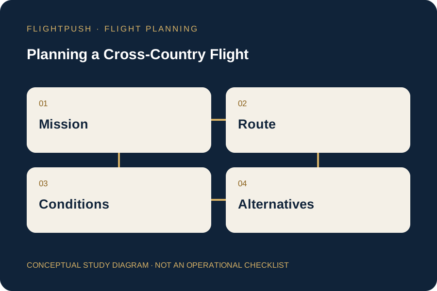
A cross-country flight begins as a set of possibilities. There may be several workable routes, a choice of departure times, and multiple airports that could serve as a fuel stop. Planning turns those possibilities into a decision, but a good plan also preserves the ability to change that decision.
The map is only one layer. Weather, terrain, aircraft performance, daylight, fuel availability, and the pilot's proficiency all determine whether a line drawn between two airports represents a sensible flight. A short route is not necessarily the route with the best options.
Start With the Mission and the Limits
Before choosing a route, define what the flight actually requires. Who is traveling? How much baggage must go? Is arrival time flexible? Would postponing create inconvenience or genuine consequences? Schedule pressure is easier to recognize before a passenger is waiting beside a loaded airplane.
Aircraft limitations and pilot qualifications establish boundaries, but proficiency and personal minimums may impose tighter ones. A flight that is technically permitted can still be a poor choice for a pilot returning after a long break or learning unfamiliar equipment.
The preflight responsibilities in 14 CFR 91.103 connect preparation with available information about the flight. For a flight under IFR or a flight not in the vicinity of an airport, that includes weather reports and forecasts, fuel requirements, alternatives if the flight cannot be completed, and known traffic delays advised by ATC. The rule is a starting point for preparation, not a complete planning checklist.
Build the Route Around Real Constraints
Trace the route across terrain, airspace, and available airports. Consider whether a modest detour creates better emergency landing options, lower terrain, more reliable fuel access, or an easier transition through complex airspace. Identify the portions where options become scarce.
Then evaluate the vertical dimension. A route over rising terrain needs a performance assessment, suitable clearance, and weather that permits the intended operation. An altitude that looks comfortable on a chart may be unsuitable because of clouds, turbulence, oxygen considerations, or aircraft climb capability.
Read the Weather as a Developing Situation
A departure observation and a destination forecast do not describe the entire journey. Compare observations, forecasts, radar and satellite products, winds, advisories, and relevant pilot reports. Look at the time window in which each portion of the route will be flown.
Ask what would make the forecast wrong in a consequential way. If low clouds remain longer than expected, where can the flight stop? If winds are stronger, which fuel option remains usable? Planning around uncertainty produces more useful answers than assuming every product will agree.
Check Both Ends of Every Landing
An airport is more than its runway length. Review runway condition, slope, elevation, obstacles, lighting, services, notices, and operating hours. Verify fuel type and availability rather than assuming a fuel symbol guarantees service when you arrive.
Use the aircraft's applicable performance information with actual loading and expected conditions. 14 CFR 91.103 specifically addresses runway lengths and takeoff and landing distance information. A runway that can accommodate landing may not provide a suitable subsequent departure.
Decide Where the Plan Will Be Reassessed
| Planning Layer | Useful Question During Flight |
|---|---|
| Weather | Are observations developing as expected? |
| Fuel | Does actual consumption support the next leg and reserve? |
| Airports | Are the intended landing options still available? |
| Pilot | Is workload or fatigue reducing the margin? |
Choose reassessment points before the decision becomes urgent. A fuel stop considered early is an ordinary change; the same stop considered after alternatives are behind the airplane can become a problem.
Carry Alternatives That Can Actually Be Used
An alternate plan must fit the aircraft, pilot, weather, and available fuel. An airport on a map is not a meaningful alternative if its runway is unsuitable or its weather requires qualifications the pilot does not hold.
For IFR operations, 14 CFR 91.169 addresses flight-plan information and alternate requirements. Filing an alternate under that rule does not remove the need to evaluate other practical escape options along the route.
Keep the Plan Available in the Cockpit
Organize essential information so it can be retrieved without searching through disconnected screens. Know how to access the route, airport information, frequencies, weather updates, and performance assumptions if the primary display becomes unavailable.
The finished product is not a promise to complete the flight exactly as drawn. It is a defensible starting decision, supported by information and clear reasons to revise it. The pilot who changes a plan early is using the plan as intended.